
Los Santos vs Vice City: start with the right comparison
Both names can make you picture beaches, palm trees, and an impressive skyline. But a city name is not the same thing as an entire playable map. Comparing Los Santos with Vice City is one question; comparing GTA V’s complete world with GTA VI’s Leonida setting is another.
This guide separates those questions. It compares recognizable environments and the regions introduced in official material, rather than inventing a land-area ratio. The images are location illustrations, not aligned maps. GTA V imagery is from its 2015 PC promotional gallery; GTA VI imagery comes from Rockstar’s launch gallery.
1. Downtown identity: roads and skyline versus waterfront skyline
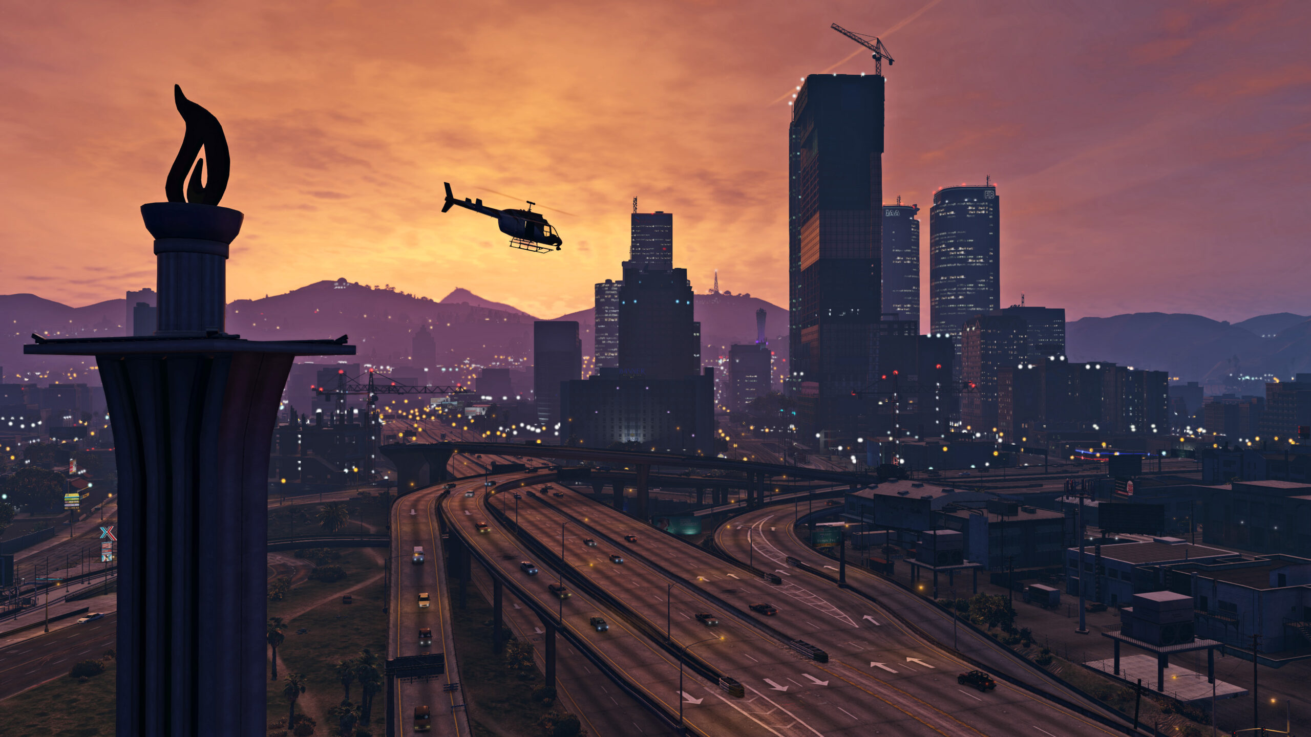
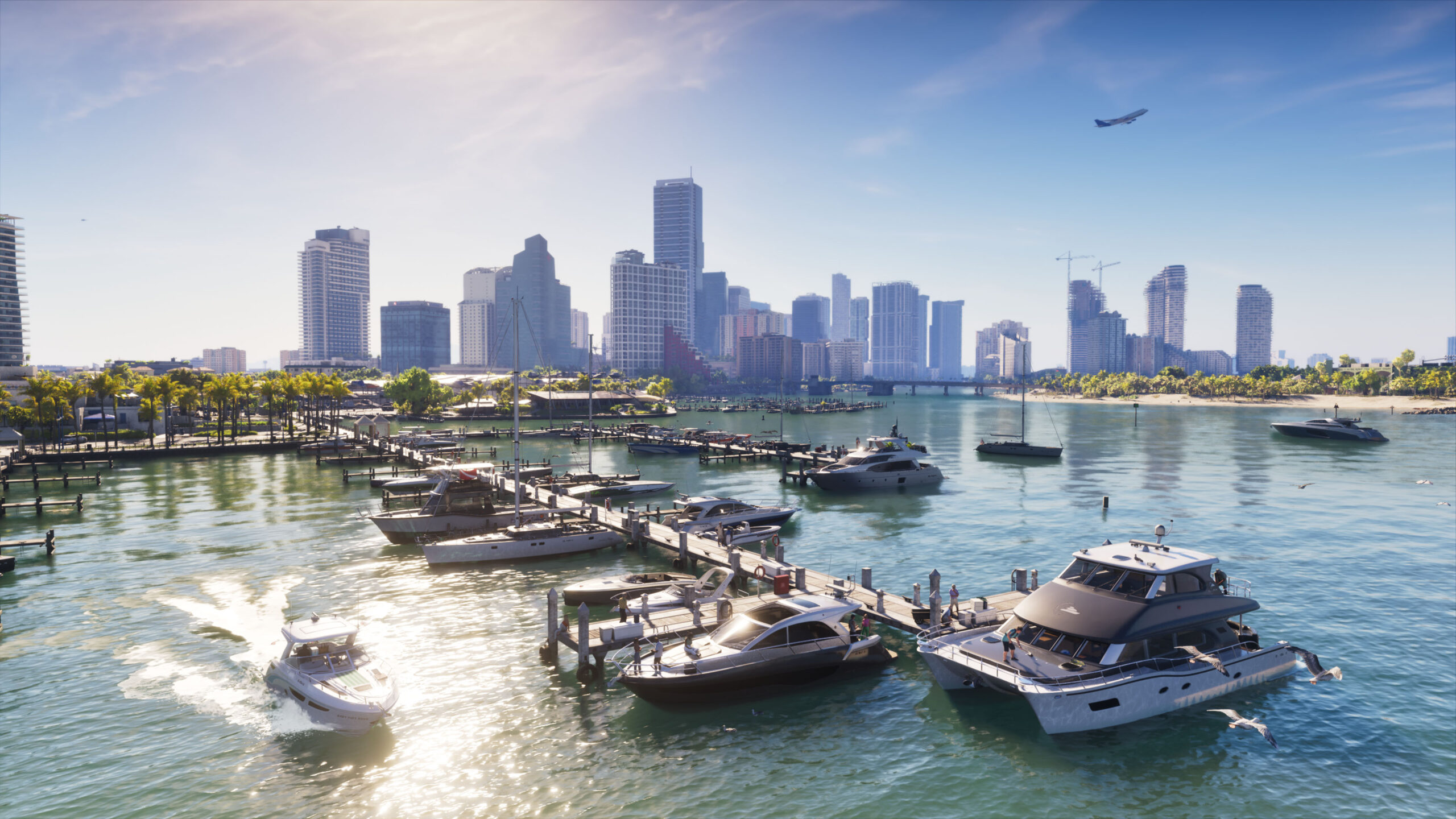
In this Los Santos view, the city is organized visually around its roads: long lines of traffic infrastructure lead toward the towers. Vice City’s waterfront view gives the water and boats much more of the foreground. Both are selective views, but they show why comparing only the number of skyscrapers misses the point.
For exploration, a useful question is what makes a place recognizable from a distance. Is it the hill behind the neighborhood, the road junction, the harbor, or the shape of the skyline? These are the visual cues you learn while navigating. The two images suggest different collections of cues; they do not prove the final driving routes or how every neighborhood connects.
2. The coast: compare the setting, not just the presence of a beach
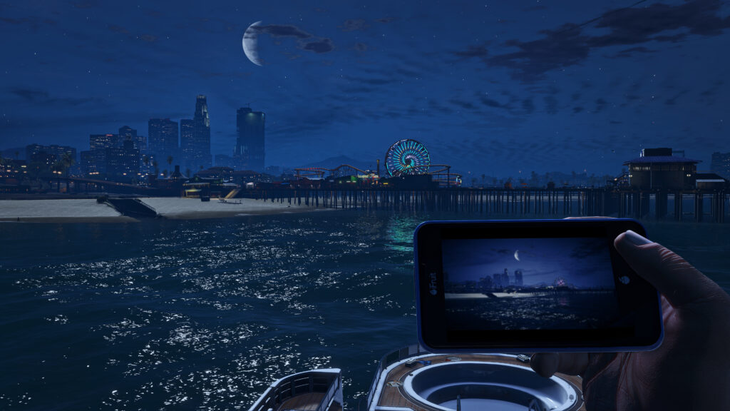
GTA V’s Del Perro scene includes a recognizable pier and amusement-wheel silhouette. The Vice City image emphasizes a built-up waterfront and boat traffic. The time of day differs, so this pair is about the character of each location—not a fair lighting-performance test.
A coast can serve as a destination, a boundary, or the thread that visually connects districts. When comparing the games, distinguish a photographed shoreline from a confirmed navigable route. Water in a screenshot is not enough to promise a particular boat activity, property, or mission.
3. Outside downtown: the contrast becomes more interesting
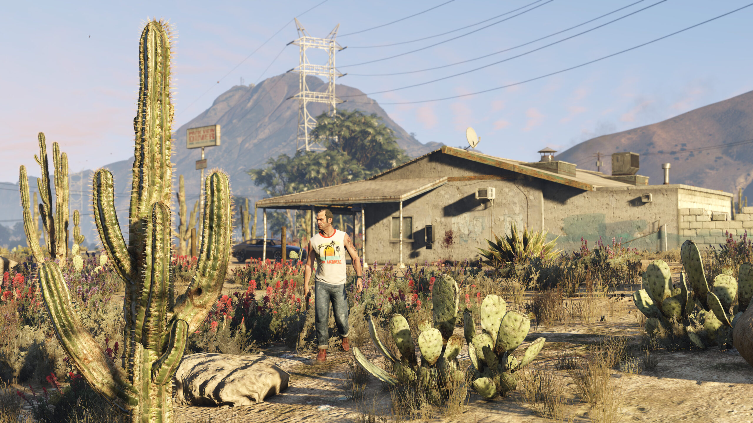
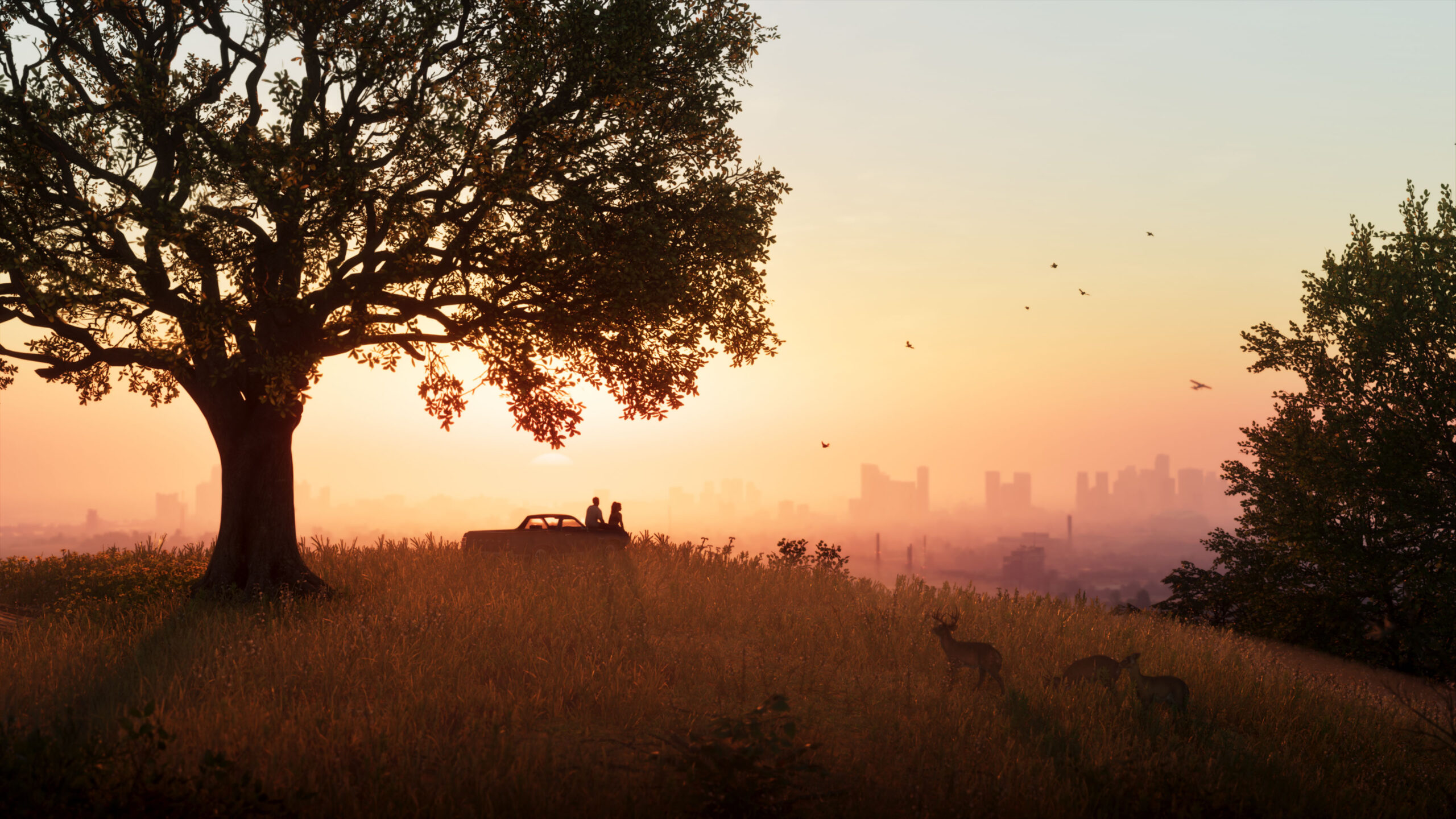
The GTA V image gives you dusty ground, cacti, and a mountain backdrop. The GTA VI scene presents a different palette and a more open, grassy foreground. That contrast is visible without claiming that either picture represents every rural area in its game.
Rockstar’s official Only in Leonida presentation names Vice City, the Leonida Keys, Grassrivers, Port Gellhorn, Ambrosia, and Mount Kalaga. Together, those names establish that the setting extends beyond one city. They should not be arranged into a precise road map without verified geographic information.
4. A useful map-comparison checklist
| Question | Useful evidence | Do not assume |
|---|---|---|
| What does the city look like? | Identified official city screenshots | Every neighborhood has the same style |
| What is beyond the city? | Named regions and illustrated environments | The regions connect exactly as a fan map suggests |
| Which map is larger? | Verified boundaries and comparable scale | More screenshots mean more playable area |
| How long will travel take? | Measured routes in the released game | A straight-line estimate equals a driving time |
| How much can you enter? | Documented accessible locations | Every visible building has an interior |
This distinction matters because “bigger” can describe several different things: total area, land area, the urban footprint, accessible interiors, or the amount of activity in a district. Those measures do not necessarily grow together. A large stretch of scenery and a compact, busy neighborhood can offer very different experiences.
5. What this comparison actually tells you
The strongest conclusion is a change of geographic identity, not an unsupported size multiplier. Los Santos and its surroundings provide a familiar mix of urban roads, coast, and contrasting rural terrain. The selected Vice City and Leonida imagery presents a different arrangement of city, water, vegetation, and regional atmosphere.
If you are deciding what to explore first, use the official region names as a shortlist of places to learn about—not a promise of unlocked destinations or a route guide. If you are comparing map diagrams online, check their source, version, date, and whether they are official before trusting a scale comparison.
The full boundaries and connections of GTA VI’s playable map are not verified by the sources used in this article. We therefore do not publish a fan reconstruction as an official map or label the world “twice as big.” This page is a geography-and-setting comparison, not a navigation tool.
Explore Rockstar’s locations and imagery
For the official character and location presentation, continue to Rockstar’s Only in Leonida page. It complements the comparisons above with the developer’s own introduction to the setting.
EXPLORE THE OFFICIAL LEONIDA GUIDE →Updated November 15, 2026. Independent coverage by SharkGamez. Rockstar Games owns the game imagery; captions link to the official gallery or its credited archive. Promotional images are not a matched graphics benchmark.

 GTA 6 Money Guide: Earn, Protect, and Spend Smarter
 A Safer Roblox Gift Card Guide for Getting More Value From Robux <p class='sec-title' style='line-height: normal; font-weight: normal;font-size: 16px !important; text-align: left;margin-top: 8px;margin-bottom: 0px !important;'>Learn how to get more value from Roblox gift cards and make every Robux count before you buy.</p>